Mapping Early Syrian Immigrants in New York
Syrians have been immigrating to the United States since the 1880s. Using historical census data and open source mapping technology, NC State public history graduate students are researching the communities Syrians formed after landing in America.
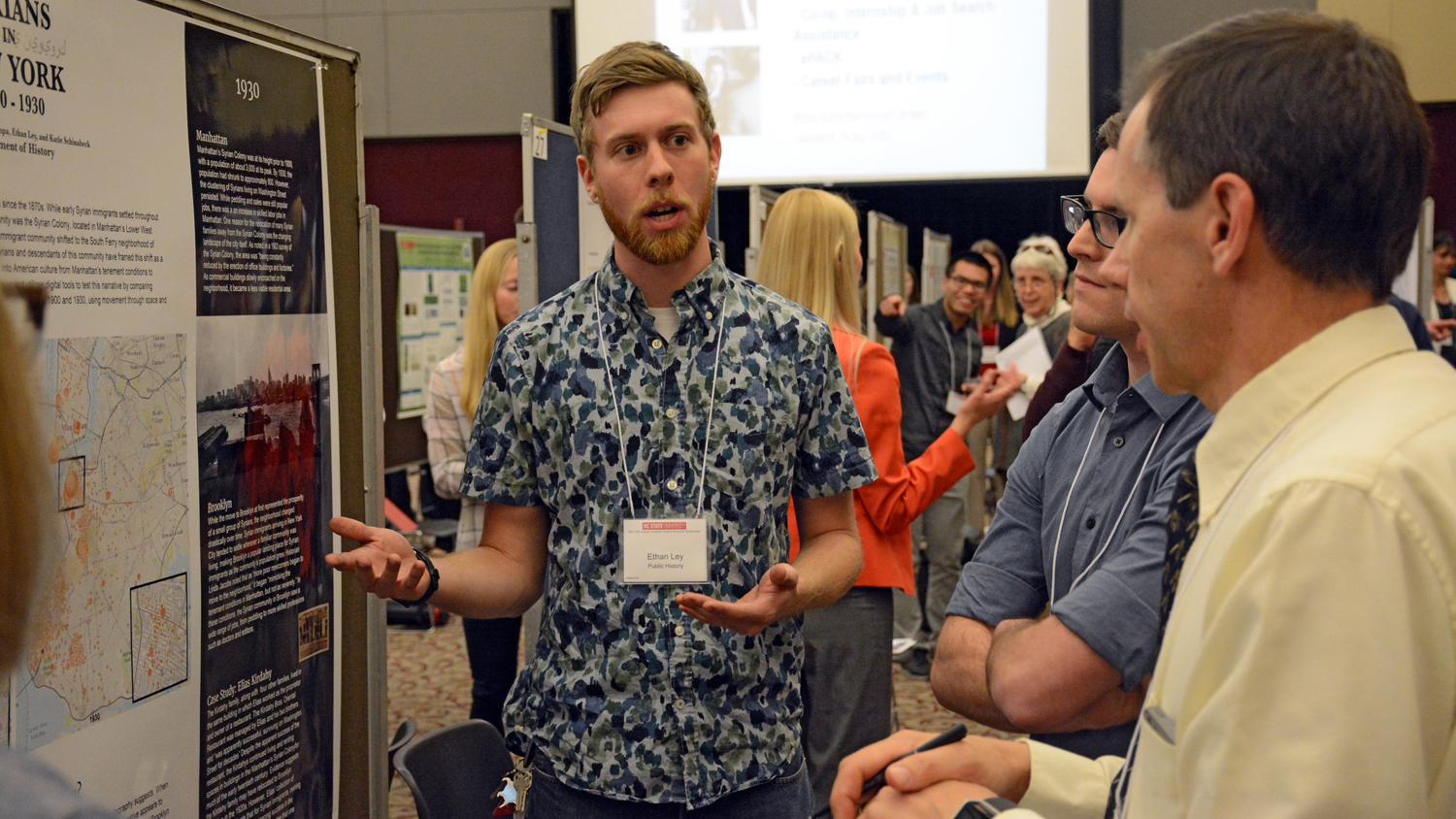
Focusing on an early enclave of Syrian immigrants in New York City, graduate students Patrick Bizieff, Claire Kempa, Ethan Ley and Katie Schinabeck studied not only where immigrants moved, but why. They created an online story map, “Syrians in New York,” which highlights their findings through interactive maps and graphs alongside historic photographs, illustrations and documents.
The students recently presented their work at NC State’s Graduate Student Research Symposium. We caught up with the group to learn more about the project.
Q: What did you study?
A: Our research topic is early Syrian immigration to the United States. Lower Manhattan, roughly where the World Trade Center site is today, was an important Syrian immigrant community in the late 1800s, typically referred to as the Syrian Colony. By 1900 and throughout the early twentieth century, large numbers of Syrians began populating Brooklyn, primarily the South Ferry neighborhood (which is roughly current day Brooklyn Heights). Traditionally, this movement from Manhattan to Brooklyn is framed as a story of upward mobility and assimilation: Syrians earned enough money to move out of the tenements in Manhattan and into spacious housing in Brooklyn. We wanted to test this narrative and ask: Why did the community move?

Q: How did you map and compare the movement of Syrians as they arrived and assimilated in New York?
A: We collaborated with the Moise A. Khayrallah Center for Lebanese Diaspora Studies on this project, and they have supported the continued research related to the project. They provided us with the raw data for the project, including census data from between 1900 and 1930. Using Arc-GIS Story Maps, we mapped the Manhattan community and the Brooklyn community in both 1900 and 1930, and we are currently expanding the project to include more geographic area and years. We used information like the number of Syrians living in one household and in one dwelling to measure upward mobility. We also used occupations to try to get a sense of people’s status in the community. Additionally, we ran statistics on how long people had been living in the United States in each location and year. In our continuing research, we are expanding our data to include exogamous marriage (marriage outside of a social group), and expanding geographic areas to include all of Manhattan and Brooklyn, giving us a better visual sense of the community. With more complete maps it will be easier to assess levels of assimilation than with our first series of maps, which only mapped the key communities.

Q: What did you find?
A: Perhaps predictably, we found that the move from Manhattan to Brooklyn was much more complex than the traditional narrative lets on! However, we did substantiate a lot of the basic ideas within the traditional narrative. One big insight we gleaned from our research was the mix of push and pull factors involved in movement within New York City. Greater numbers of commercial buildings continued encroaching on the Syrian Colony in Manhattan, inhibiting growth and squeezing the community into a smaller area. We also noticed that in 1930, the Manhattan community had a similar housing density as Brooklyn, indicating that tenement conditions existed in both areas. Essentially, Brooklyn’s South Ferry became, like Manhattan’s Syrian Colony before it, the landing place for new immigrants. We hypothesize that the reason Brooklyn became a new center of the Syrian community had more to do with push factors in Manhattan than with a universal rise in social or economic class.
Q: Why does this matter? How does your research lend insight to today’s political and/or social discourse about immigration?
A: When we started our project in 2016, the Syrian refugee crisis was a major political talking point; however, we wanted to heighten the awareness of the long history of Middle Eastern immigration to the United States that tends to be cut out of contemporary discourse. Studying early Syrian immigrants, who came from modern day Syria and Lebanon, was attractive to us because it was relatively unknown despite the significant numbers of people who settled in New York and elsewhere. The project also speaks to immigrant narratives at large. Literature on immigration demonstrates that — for various reasons, including discrimination — immigrant groups are often invested in establishing themselves as not “other.” The narrative that’s been attached to the move of the Syrian community from Manhattan to Brooklyn definitely follows that pattern, and understandably so. Because immigrant groups are often spoken of as a whole, we wanted to attatch humans to this process, which we did through case studies. We chose the online format of Arc-GIS Story Maps for its interactivity and attempted, through features like interactive maps and graphs, to present our research in a way that is engaging to both scholars and non-academics.